
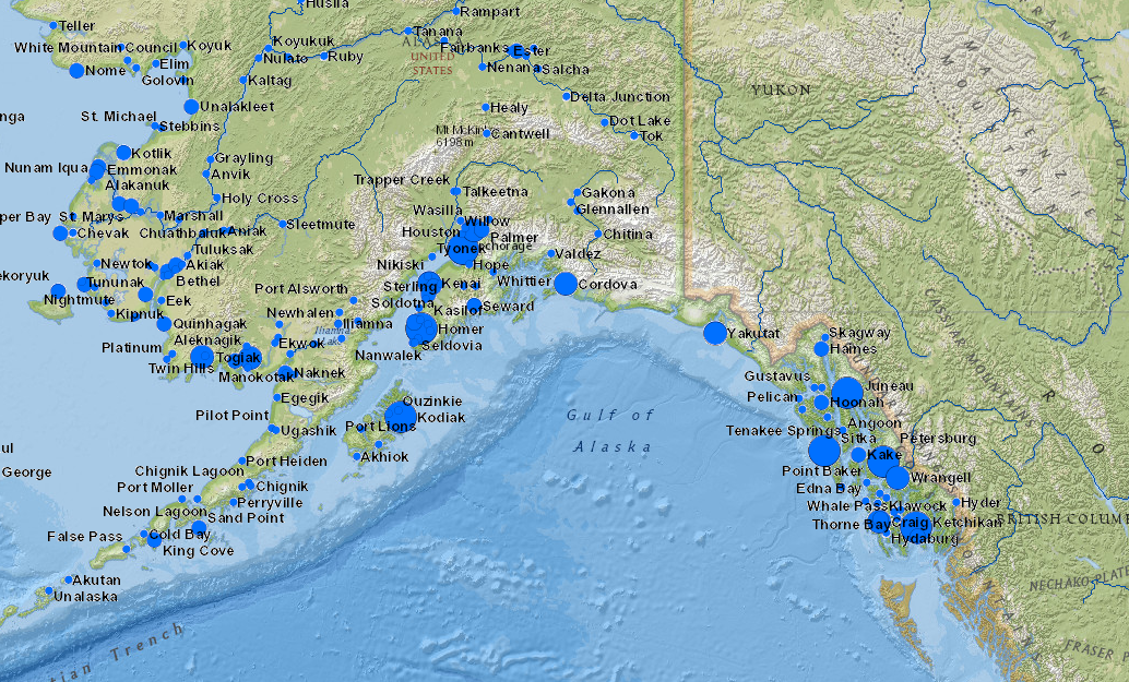
The Alaska Fisheries Science Center (AFSC) at NOAA has developed an interactive set of maps that will allow you to explore fisheries participation by communities around the state of Alaska. Using the maps, you can view visual representations of data in commercial, recreational and subsistence fisheries participation by community.
View a map focused on commercial fishing here, or visit this page to choose another map.

Also available is a set of community snapshots, which take the pulse of Alaskan fishing communities using information about their fishing involvement and demographic characteristics. Yearly information is presented in each snapshot on commercial and recreational fishery harvest and processing sectors to help show how community involvement in each fishery has changed over time. Community participation in subsistence is also included. Demographic information on social and economic aspects of the community is reviewed using the most recent data from the U.S. Census Bureau.
View Sitka's community snapshot here.